Brazilian Cerrado-Savanna Scenes Dataset
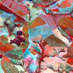
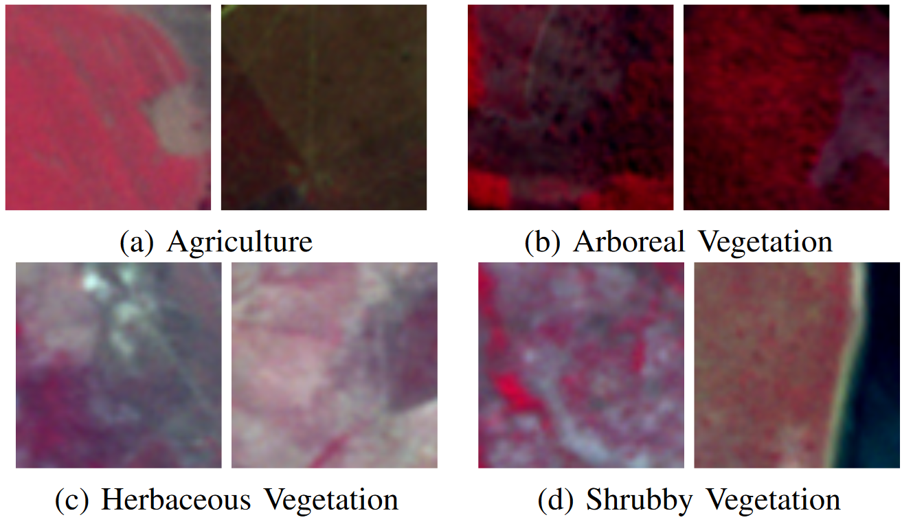
The dataset is composed of 1,311 multi-spectral scenes extracted from images acquired by the RapidEye satellite sensors over the Serra do Cipó region, a mountainous and highly biodiverse and heterogenous landscape in southern-central Brazil mainly constituted of Cerrado-Savanna Vegetation. From the 5 bands (blue, green, red, red edge and near infrared) that the images acquired by the RapidEye satellite sensors have, we have selected three (near-infrared, green, and red bands), which are the most useful and representative ones for discriminating vegetation areas. It is a very challenging dataset given its high intraclass variance, caused by different spatial configurations and densities of the same vegetation type, as well as its high interclass similarity, given similar appearance of different types of vegetation species.Statistics
The 1,311 scenes, which have of 64 x 64 pixels, are partitioned into 4 classes: Agriculture, Arboreal, Herbaceous and Shrubby Vegetation. The identification of each vegetation (i.e. ground-truth annotation) was performed manually by biologists and specialists. The dataset has:| Type | Instances |
|---|---|
| Agriculture | 47 |
| Arboreal Vegetation | 962 |
| Herbaceous Vegetation | 191 |
| Shrubby Vegetation | 111 |
Please, cite this dataset as:
K. Nogueira, J. A. dos Santos, T. Fornazari, T. S. Freire, L. P. Morellato, R. da S. Torres. Towards Vegetation Species Discrimination by using Data-driven Descriptors. In: Pattern Recogniton in Remote Sensing. International Conference on Pattern Recognition Workshop, Cancun, Mexico, 2016.
@inproceedings{nogueira2016towards,
	title={Towards vegetation species discrimination by using data-driven descriptors},
	author={Nogueira, Keiller and Dos Santos, Jefersson A and Fornazari, Tamires and Silva, Thiago Sanna Freire and Morellato, Leonor Patricia and Torres, Ricardo da S},
	booktitle={2016 9th IAPR Workshop on Pattern Recogniton in Remote Sensing (PRRS)},
	pages={1--6},
	year={2016},
	organization={Ieee}
}